Outline: Vector Charts
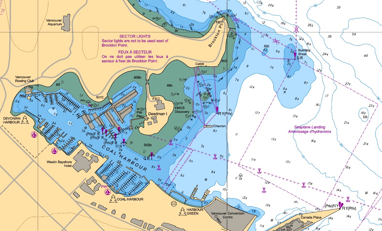
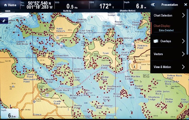
A vector chart is essentially a visual representation of an informational database. There are numerous noteworthy enhancements along with all of the data that is provided in a raster chart. Vector charts are preferred over raster charts for usability. If you want to request a chart watch demo, click on American Nautical Services.
How are Vector Charts made?
A paper chart can be scanned to create vector data. To vectorize the raster image, however, each charted object and its properties are digitally encoded and kept in a database along with the object’s precise location. The ECDIS system uses the ENC as its designated chart. Thematic layers that separately categorize each group can be used to combine together and store chart feature groups. One layer may be made up of the shoreline, another layer might have depth contours, etc. Thus, the system operator can optimize the display to show only relevant data and prevent the display from being clogged with irrelevant data. The vector chart is clever enough to supply data that enables the generation of an alert for potential threats.
The Benefits of Vector Charts are as below:
- Layers of the chart’s information allow for the chosen data display.
- The user can modify the display to suit their needs.
- Data on charts is seamless.
- Zooming in is possible without the displayed data being distorted.
- Interrogating charted objects can provide the user with information.
- When a hazardous condition like crossing a safety relief, takes place, indications and alerts may be issued.
- Different symbols than those seen on raster charts or paper may be used to represent certain objects.
- Other devices like radar and ARPA may be able to get chart data.
- Less memory is needed to hold data than a raster chart, unless the content of the data is the same.
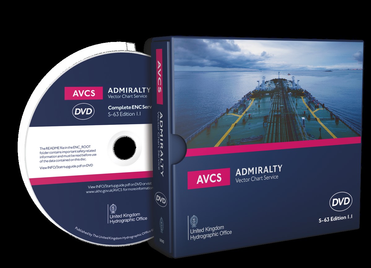
Attraction of Admiralty Vector Chart Service
- Future of Navigation
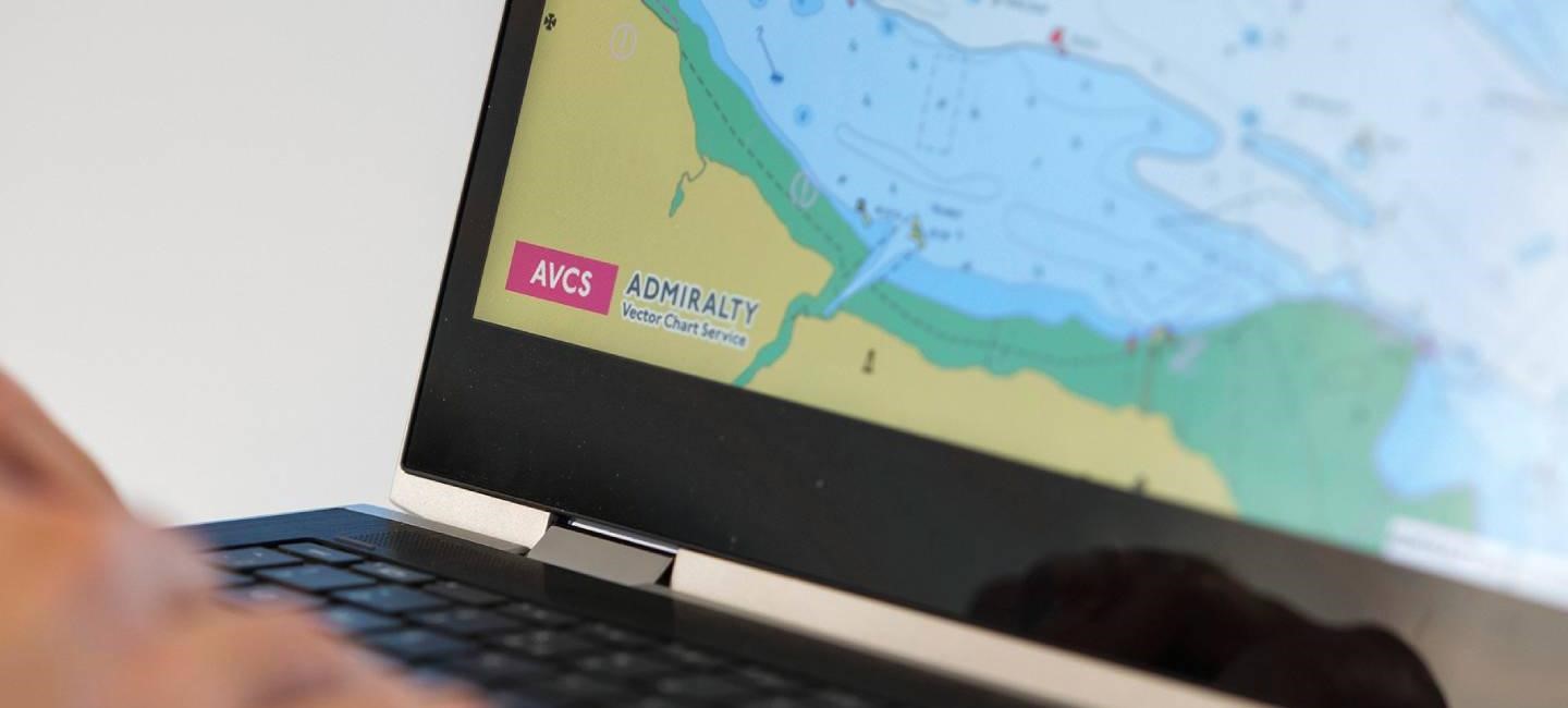
To provide thorough, official, global coverage, the Admiralty Vector Chart Service (AVCS) combines (ENCs) Electronic Navigational Charts from national hydrographic offices across the world with fresh ENC coverage generated by UKHO on behalf of Foreign Governments. More immediately applicable ENC data than any other service now offered can be found in AVCS.
- Efficient and Fast Maintenance of Chart
An update service offers complete support for the AVC Service. All the Electronic Charts are current at the moment of purchase, and thorough updates are provided every week without further charge. Updates are included in the base subscription price and cover all the Notices to Mariners, Replacement Charts, New Editions, and any fresh, pertinent ENCs. Remote access to updates is possible online or through the Weekly Update CD.
- The Quality
The Admiralty goods are high quality and safe, and UKHO is proud of this reputation. These standards will be used for all ENC content that is part of the AVCS service. For ensuring that they will be loading and showing correctly on ECDIS equipment, at the very least, all cells have passed validation procedures.
Additionally, UKHO has established a procedure of evaluation by its qualified cartographers, where the information in the ENC is contrasted with that in the comparable Admiralty paper chart. Any navigationally important discrepancies are then studied and dealt with in collaboration with the producing nation. Where UKHO thinks the mariner should have access to more information, it will be provided through the use of a value-added cover that is only available through the AVCS service.
Even though these additional levels won’t be accessible right after launch, they surely will in the near future. This level of assurance is unavailable from any other electronic chart service.
- The Compliant
Only ENC data that complies with SOLAS Carriage Requirements for usage in (ECDIS) Electronic Chart Display and Information Systems is available in the Admiralty Vector Chart Service.
How to get ADMIRALTY Vector Chart Service Online?
Through certified systems provided by ADMIRALTY Technical Solution Providers’ global network, AVCS Online is made available. Websites that can help shore-based marine decision-making are part of these systems.
Is AVCS Online licensed, and how?
A 12-month subscription to AVCS Online can be purchased, and it offers global ENC coverage on an overview scale. Within the same firm, every subscription allows a maximum of five concurrent users.
On a chart-by-chart basis, customers can then acquire more comprehensive ENC coverage. The majority of producers of ENCs offer customizable periods ranging from 3 months, 6 months, or 12 months.
Summary
The ADMIRALTY Vector Chart Service is the most all-inclusive digital maritime chart service presently offered. It combines above 15,800 (ENCs), also known as Electronic Navigation Charts from the hydrographic offices across the globe into a single value-added service that is quality-assured and packaged by the UKHO. If you want to request a chart watch demo, click on the link mentioned at the start of the article.